
Precision Imaging. Actionable Intelligence.
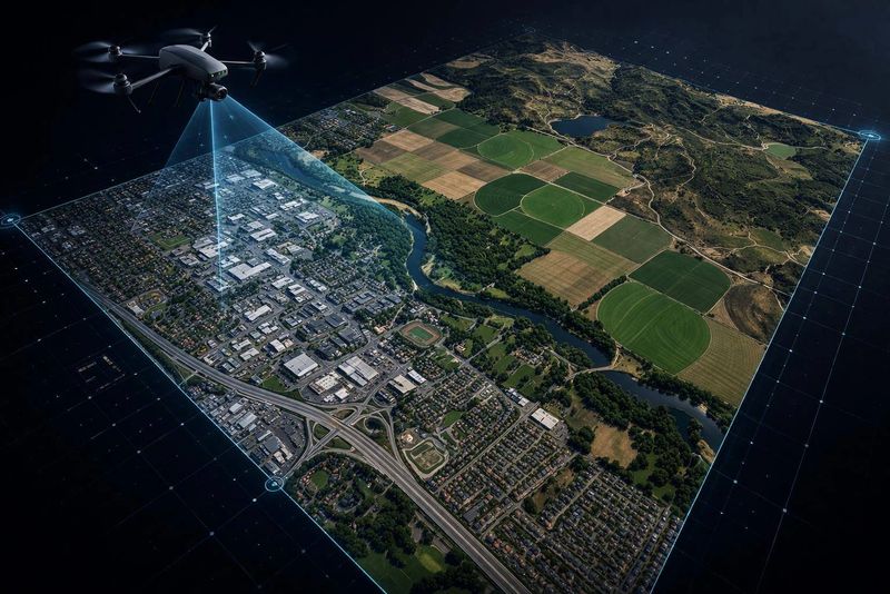
Advanced geospatial solutions powered by UAV systems, AI analytics, and multispectral imaging - delivering real-time insights.
Expert Insights in Advanced Geospatial Technology
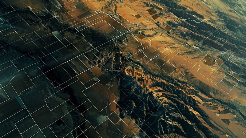
AGSSI (Advanced Geo Solutions for Specialized Imaging) delivers advanced geospatial intelligence through specialized imaging, enabling data-driven decisions across defense, infrastructure, environmental monitoring, and strategic operations.
Explore Our Advanced Geospatial Technology Services
Core Capabilities
- High-Resolution Aerial Mapping: Precise, large-scale mapping with seamless, georeferenced imagery.
- Multispectral & Thermal Imaging: Advanced spectral analysis for detailed environmental and material insights.
- AI-powered Image Analysis: Accurate 3D reconstructions for simulation, planning, and analysis.
- 3D Terrain Modeling: Automated detection of patterns, risks, and irregularities in real time.
- Real-time Geospatial Data: Instant data delivery for rapid decision-making in dynamic environments.
Why AGSSI
- Actionable Insights, Not Just Data: Transform imaging outputs into clear, decision-ready intelligence
- Rapid Deployment: Collect and process data in real time across diverse environments
- Enhanced Operational Awareness: Monitor assets, terrain, and activity with precision
- Cost & Resource Optimization: Reduce manual inspections and improve efficiency